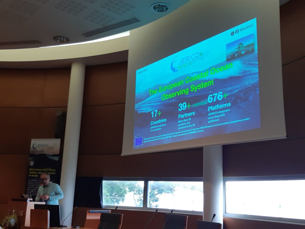
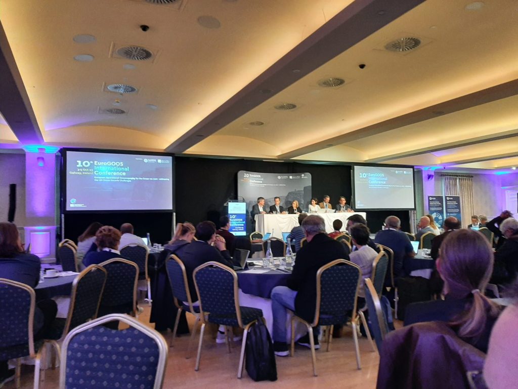
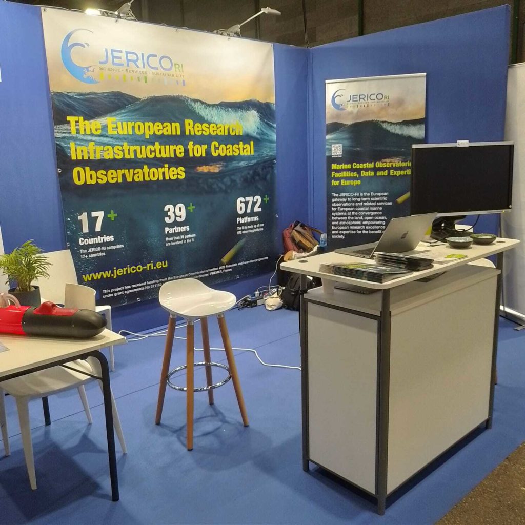
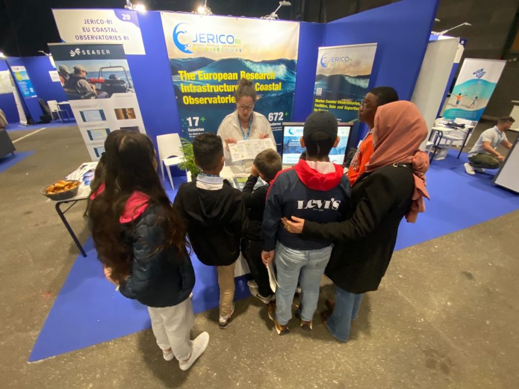
The JERICO community is proud to announce that JERICO (Joint European Research Infrastructure for Coastal Observatories) has officially been included in the ESFRI Roadmap 2026, marking a major milestone in its journey towards becoming Europe’s Research Infrastructure for coastal observations.
This achievement is the result of more than fifteen years of collective effort by a dedicated European community committed to advancing integrated coastal observing. Built through successive collaborative projects, strengthened by an ever-growing network of research organisations and supported by an increasing number of European countries, JERICO has progressively demonstrated both its scientific excellence and its strategic importance for Europe.
Inclusion in the ESFRI Roadmap represents one of the highest recognitions for a European Research Infrastructure project. It acknowledges the maturity of JERICO’s scientific vision, its organisational development, and its unique capacity to integrate coastal observing systems across Europe into a coherent, long-term infrastructure serving research, innovation and society.
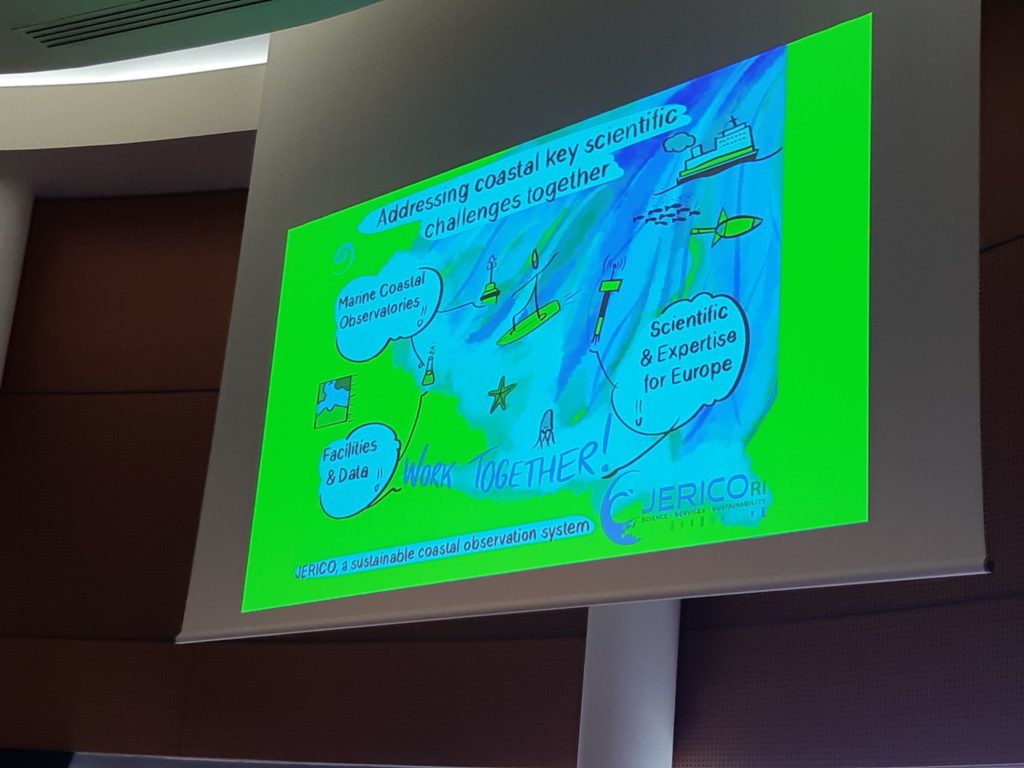
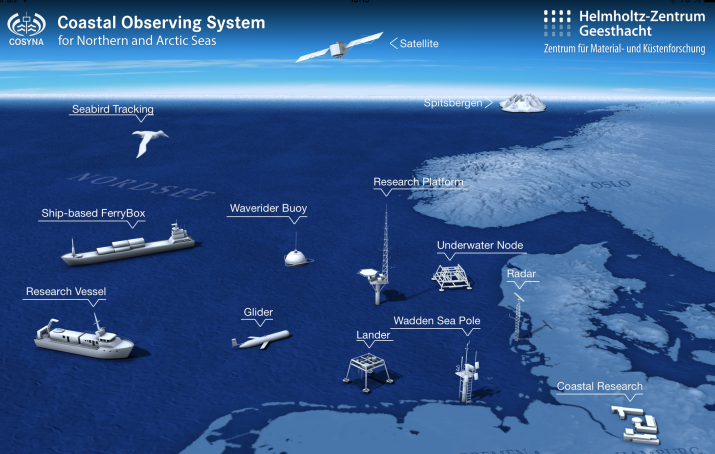
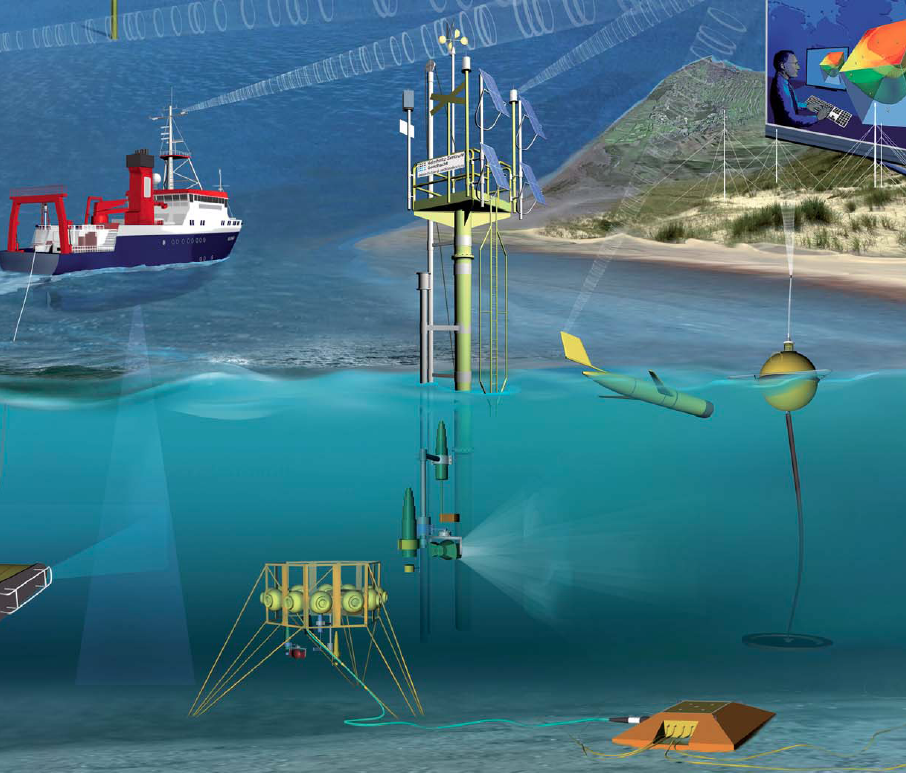
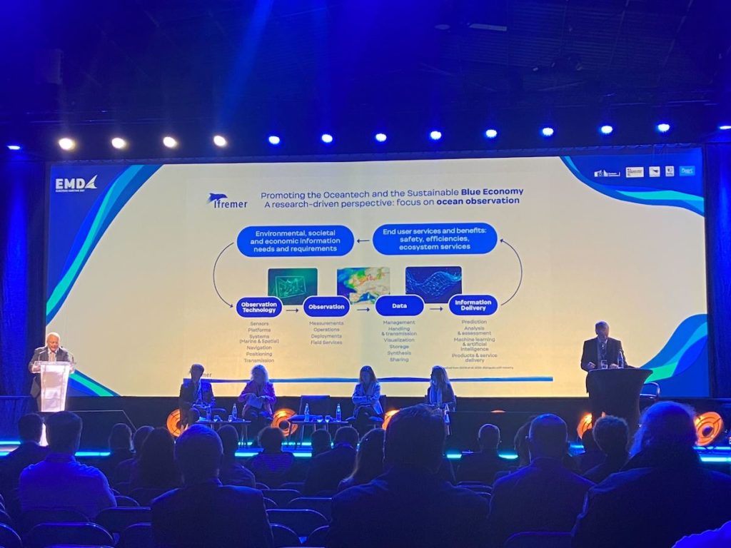
Europe’s coastal zones are among the planet’s most dynamic and vulnerable environments. They are at the heart of major societal challenges, including climate change adaptation, biodiversity conservation, water quality, sustainable blue economy and coastal resilience. Addressing these challenges requires sustained, harmonised and interoperable observations across national borders. JERICO provides the framework to achieve this ambition.
Beyond strengthening coastal observation itself, JERICO plays a key role in connecting Europe’s marine Research Infrastructures. Through close cooperation with complementary infrastructures and international observing initiatives, JERICO contributes to building an integrated European Ocean Observing System capable of delivering high-quality observations, FAIR data and advanced services for science, policy and innovation.
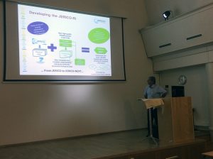
The inclusion of JERICO in the ESFRI Roadmap opens a new chapter. The coming years will focus on preparing the future European Research Infrastructure, consolidating its governance, services and long-term sustainability through the forthcoming Preparatory Phase.
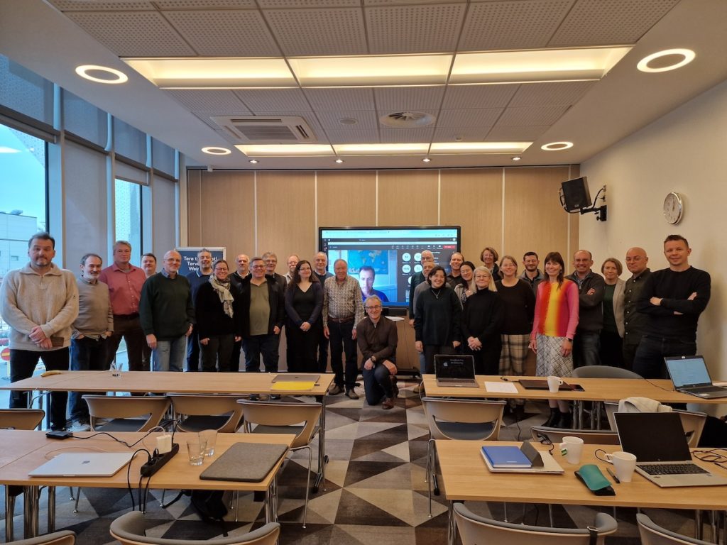
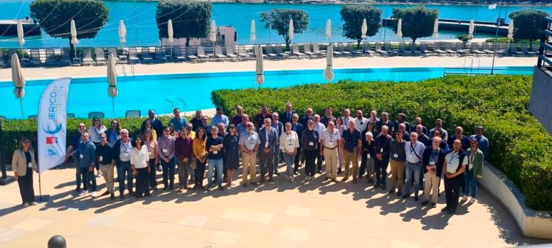
This success belongs to the entire JERICO community. It reflects the commitment of hundreds of scientists, engineers, technicians, managers and institutional representatives who have worked together over more than fifteen years to transform a shared vision into a European Research Infrastructure project.
The JERICO coordination warmly thanks all partners, national authorities, advisory bodies and stakeholders who have contributed to this remarkable achievement. We also wish to express our sincere gratitude to the European Commission for its unwavering support throughout JERICO’s successive development phases. Its long-term commitment to strengthening European coastal observation has been instrumental in enabling JERICO to reach this important milestone.
Together, we now look forward to the next chapter: preparing the future European Research Infrastructure that will serve the scientific community, support evidence-based policymaking, foster innovation and contribute to a better understanding and sustainable management of Europe’s coastal seas.


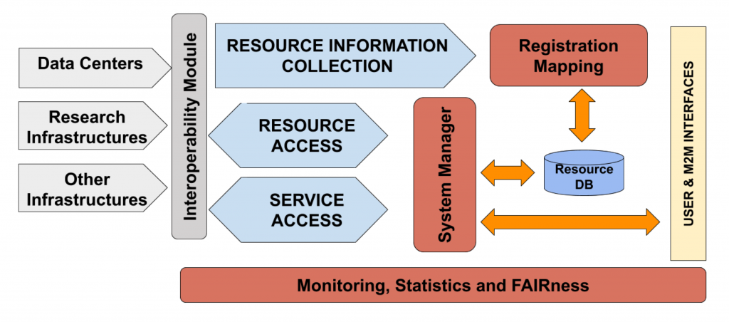
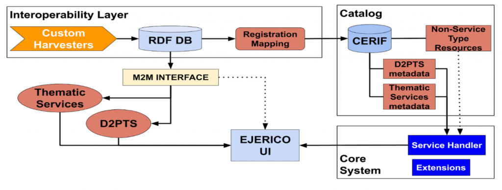
 The JERICO-CORE pilot VRE results from the partnership between JERICO and
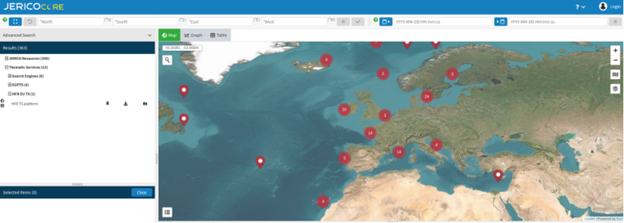


 Join our quest!
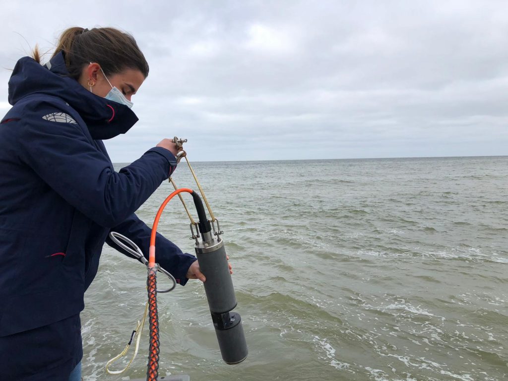
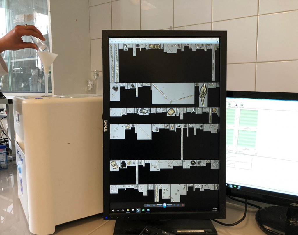
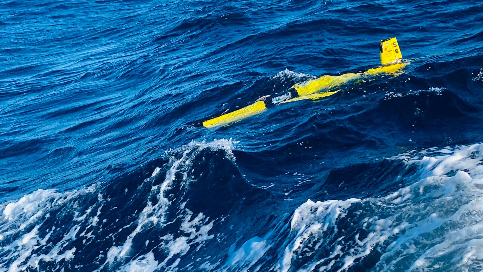
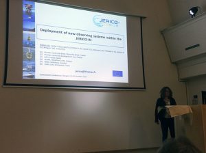
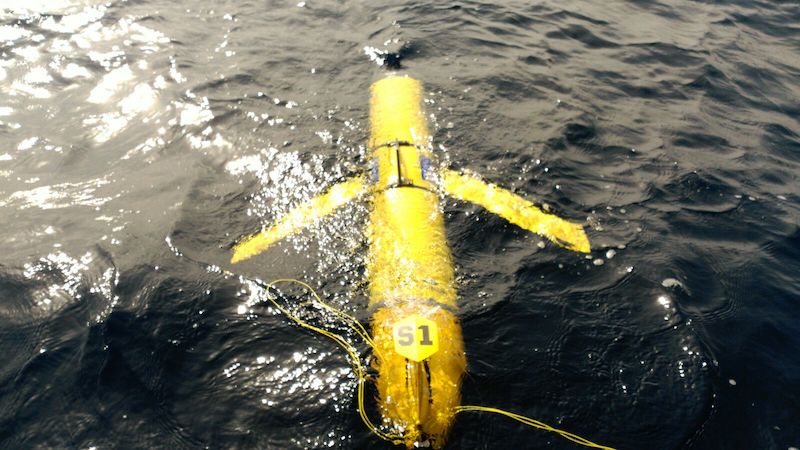
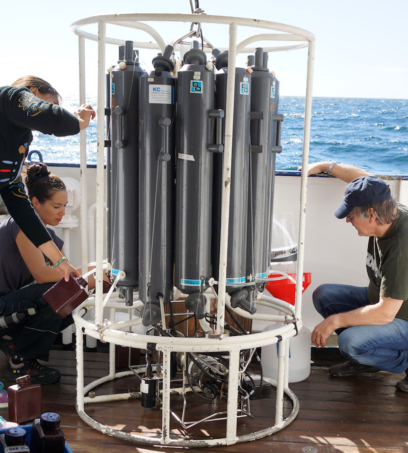
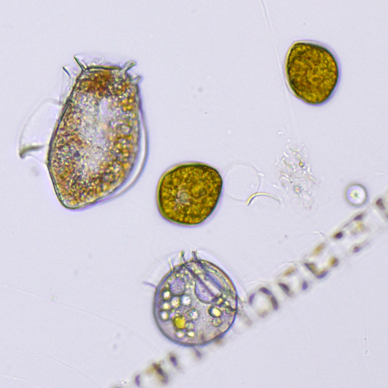
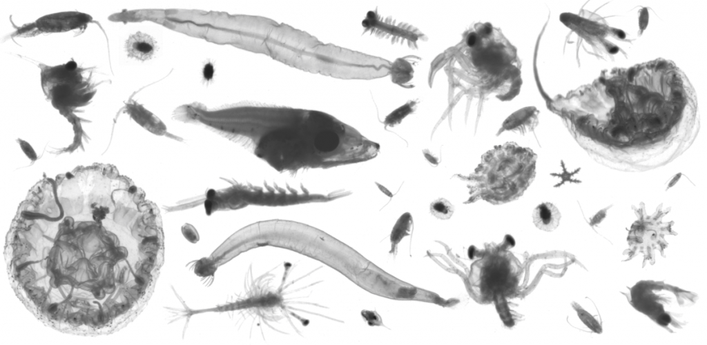
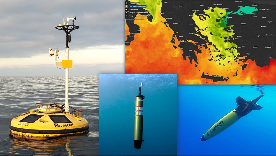
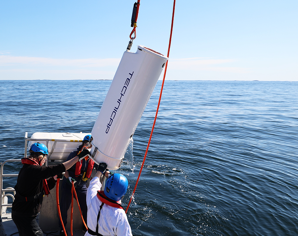
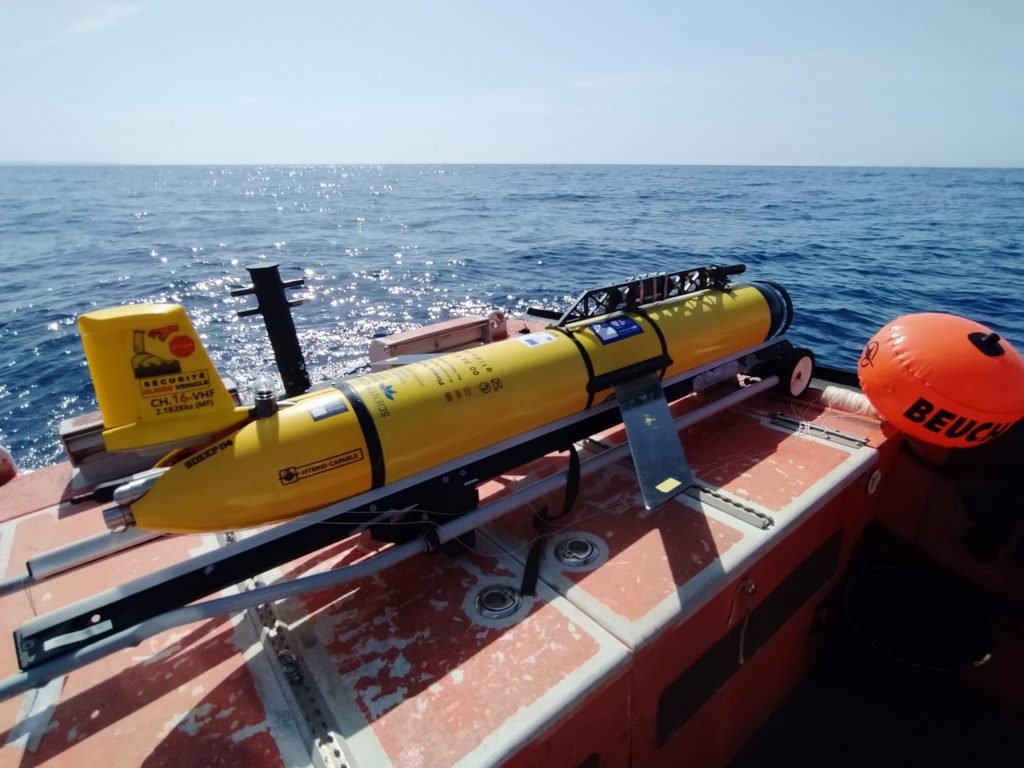
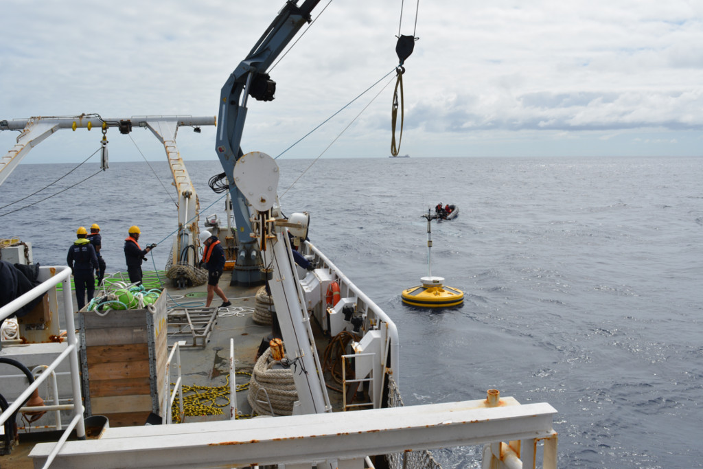
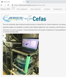
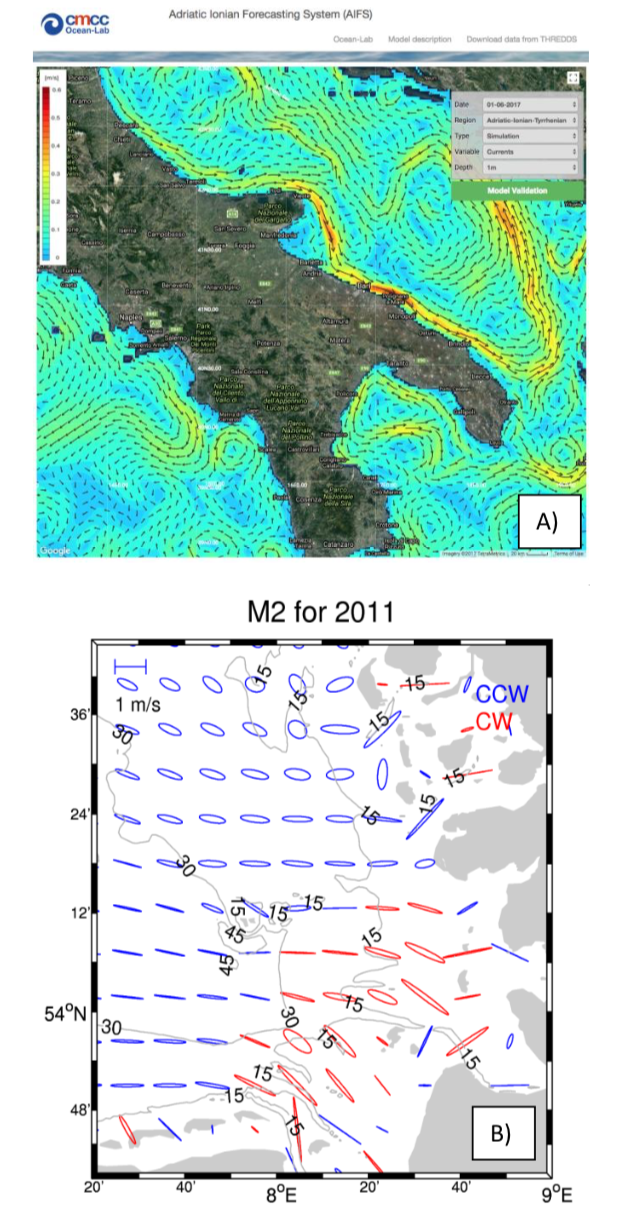
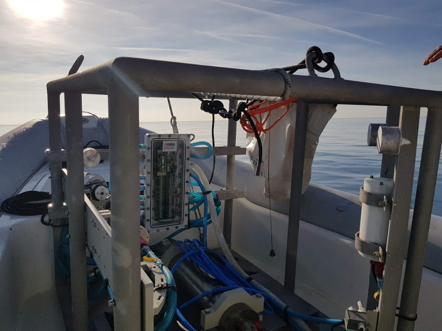
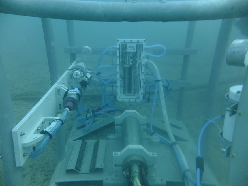
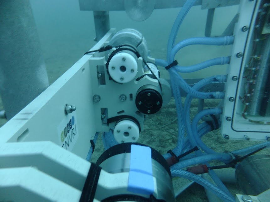
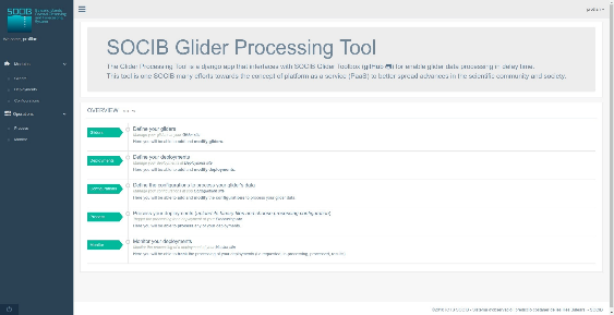
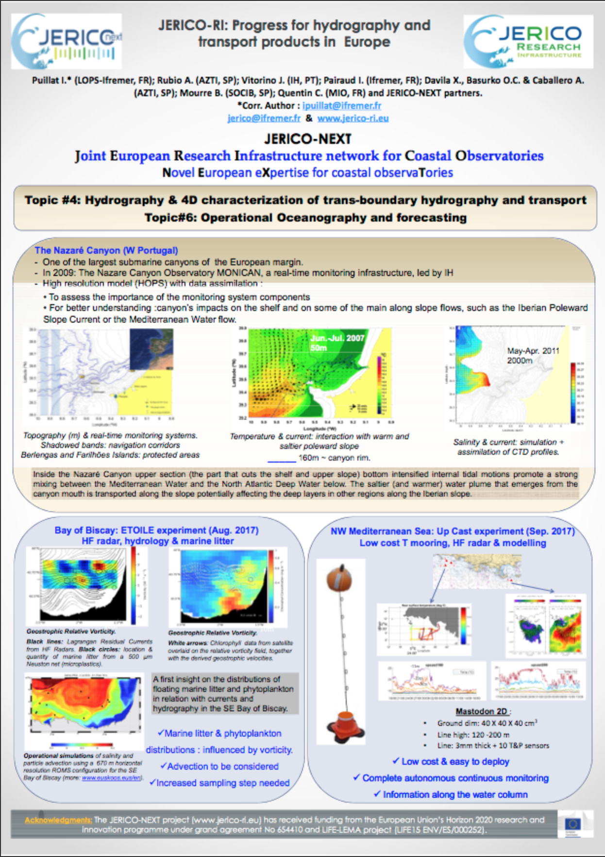
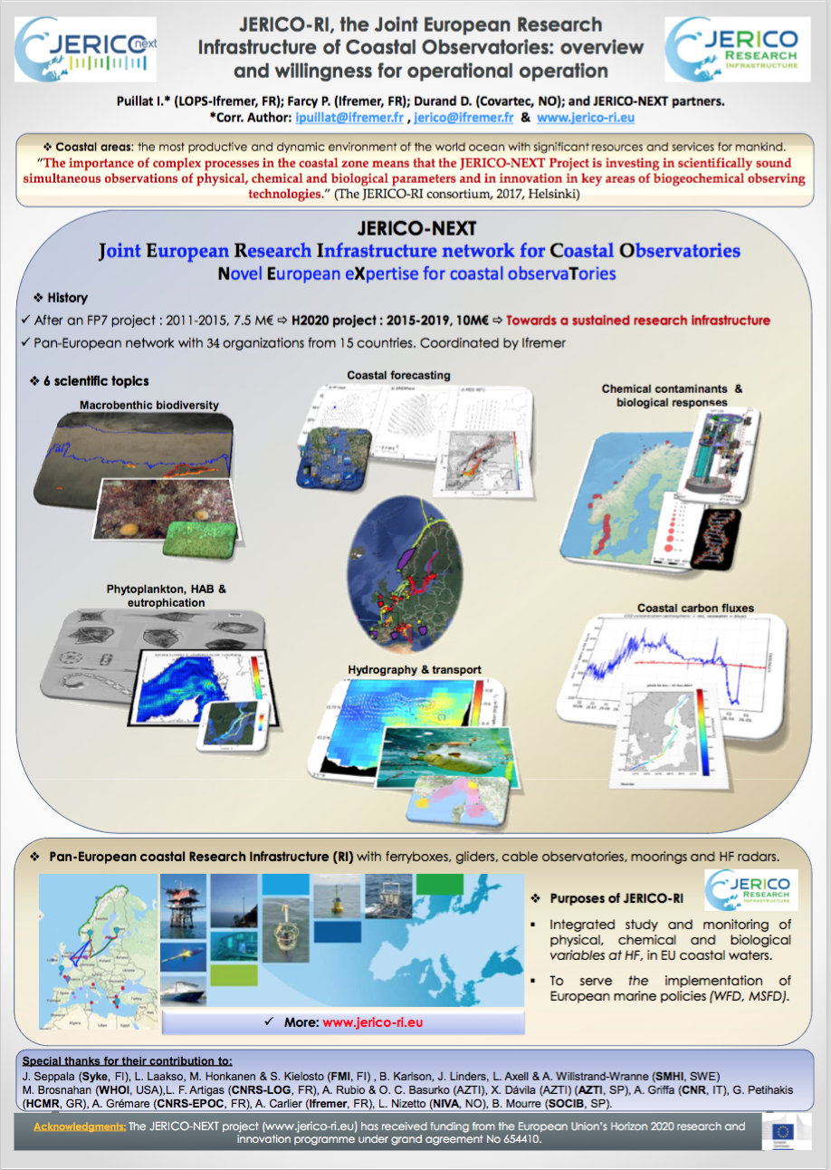
 In JERICO-S3, we continue our efforts towards measuring synchronously different variables (especially biogeochemistry and biology) and filling observational gaps in under-sampled areas to understand phytoplankton dynamics and distribution in coastal waters. Our task is to improve the readiness of ship-based and autonomous platform observing networks by guaranteeing their robustness, reliability, and long-term sustainability.

 Dr. Alicia Romero Raminez
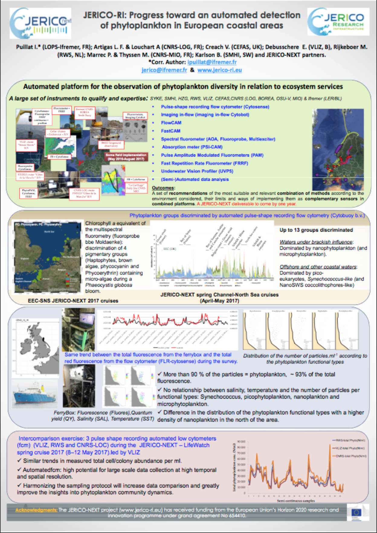
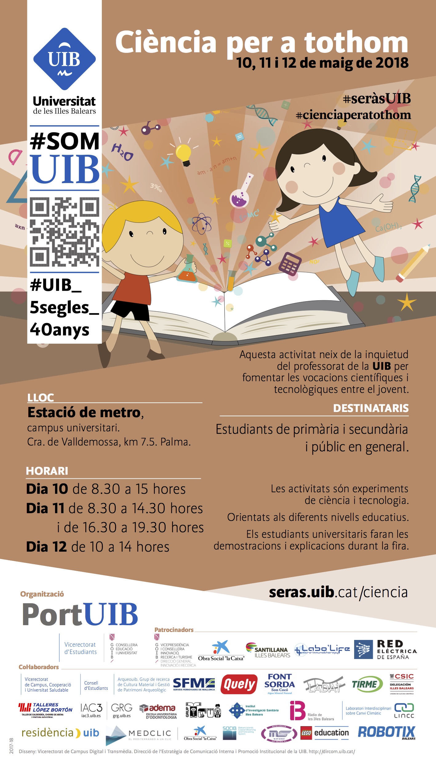
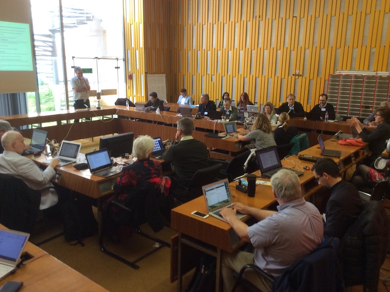
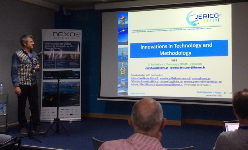
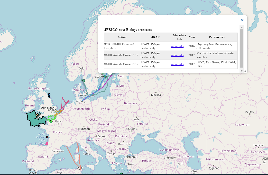
 JERICO-NEXT approach on high-frequency phytoplankton observation was presented by Dr. Luis Felipe Artigas, co-leader of the JRAP1, during the workshop on developing an implementation plan for a sustained, multidisciplinary global observing system of plankton communities (25 – 27 June 2018, Santa Cruz, United States). The workshop particularly aimed to:
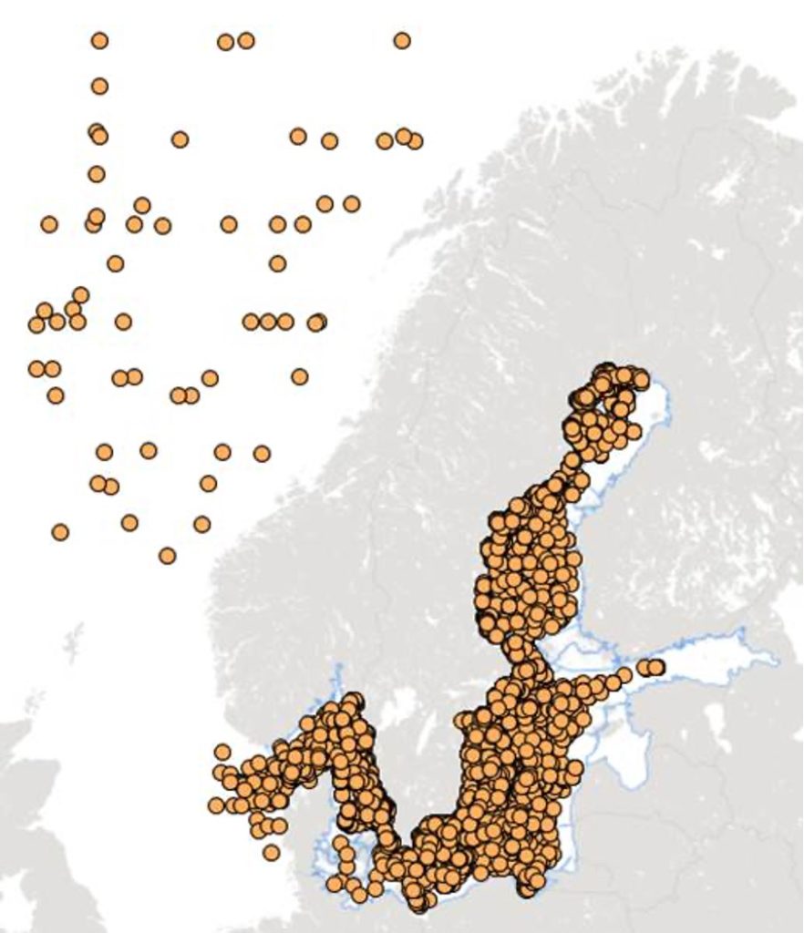
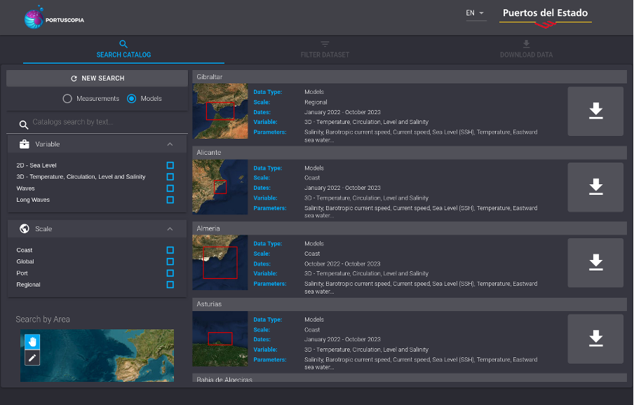
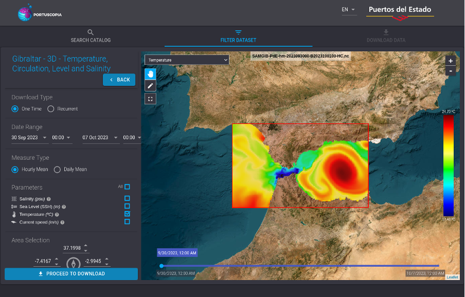
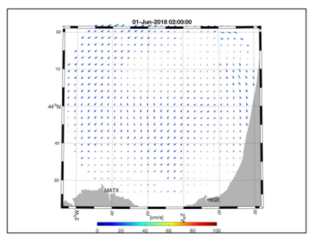
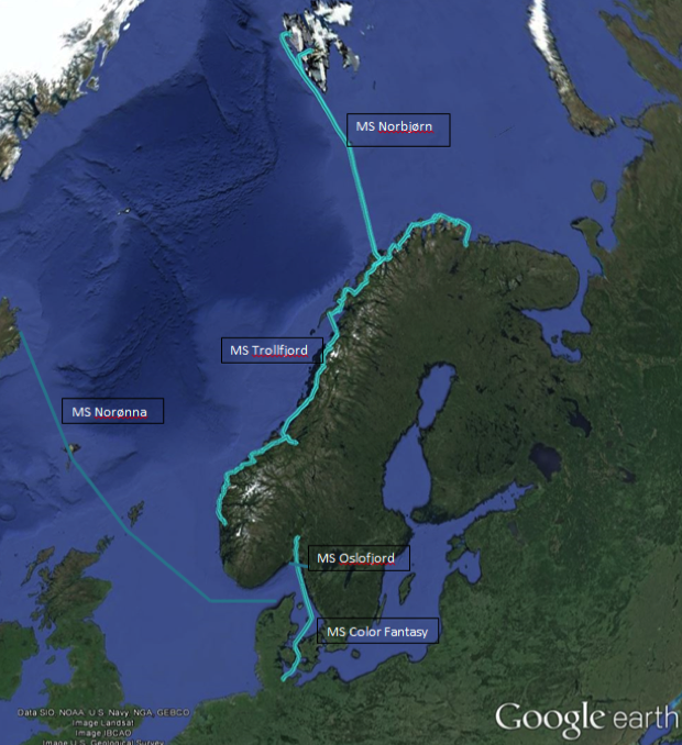
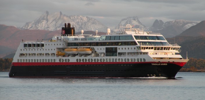
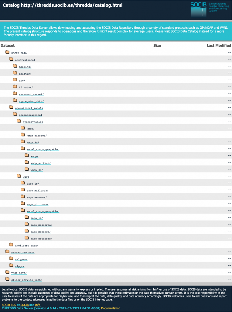
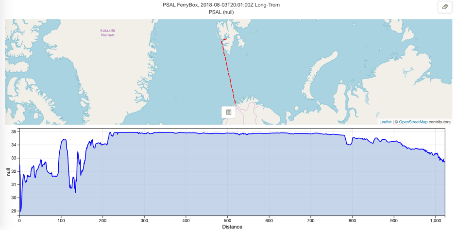
 NIVA’s FerryBox data for three ships of opportunity (M/S Trollfjord – Norwegian coast, M/S Color Fantasy – North Sea, and M/S Norbjørn – Barents Sea) are available for JERICO-NEXT Virtual Access as of January 2018. Daily data can be downloaded by FTP from NIVA’s website (