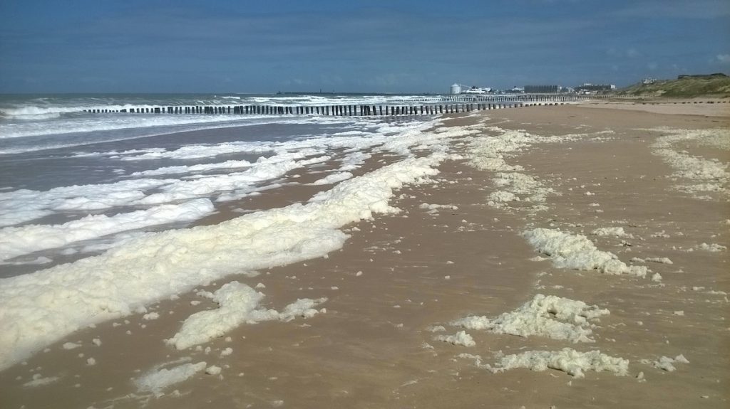
The English Channel and the North Sea are diverse ecosystems, influenced by adjacent sea areas. Strong physical forcing – swells, winds, waves, fronts, gyres, tidal currents and high riverine inputs – control advection and dispersion of nutrients, pollutants, particulate matter and plankton. The areas are characterized by intense seasonal primary production, local eutrophication and harmful algal blooms. The region also represents a significant economic zone where several human activities, fisheries, waste disposal, oil drilling, transportation, coastal defence, offshore wind farms, and recreation, take place.
Understanding the fluxes and balances of energy, materials and ecosystem dynamics is still patchy at best and is important in understanding primary production, eutrophication events and algal blooms. These in turn are important for economic and recreational activities.
The JERICO-S3 project has established 4 innovative Pilot Supersites for coastal monitoring that aim to fill gaps in understanding coastal marine environments. One of the key focuses of the North Sea and English Channel Pilot Supersite is to improve understanding of the interconnected forces that govern energy budget, material fluxes, balances, and the factors directly controlling ecosystem dynamics.
To achieve this, 9 specific regional scientific topics and actions have been defined, including harmonized observations of regional carbon fluxes, plankton biomass, diversity, and productivity dynamics, riverine input to the North Sea, data integration, identification of gaps in observations, products and support to the EU directives and ecosystem management and Eutrophication Status Assessments, as well as interaction with other JERICO Pilot Supersites and European RIs.
To begin to address these specific topics and actions, the team has:
- Started to Integrate the data from various sources. The collections are used to ground-truth Integrated Observation Systems with conventional situ data (CTD casts, sampling with Nishkin bottles and nets) to harmonize observations, cross-validate the data, find technological observation gaps, and facilitate effective scientific data use.
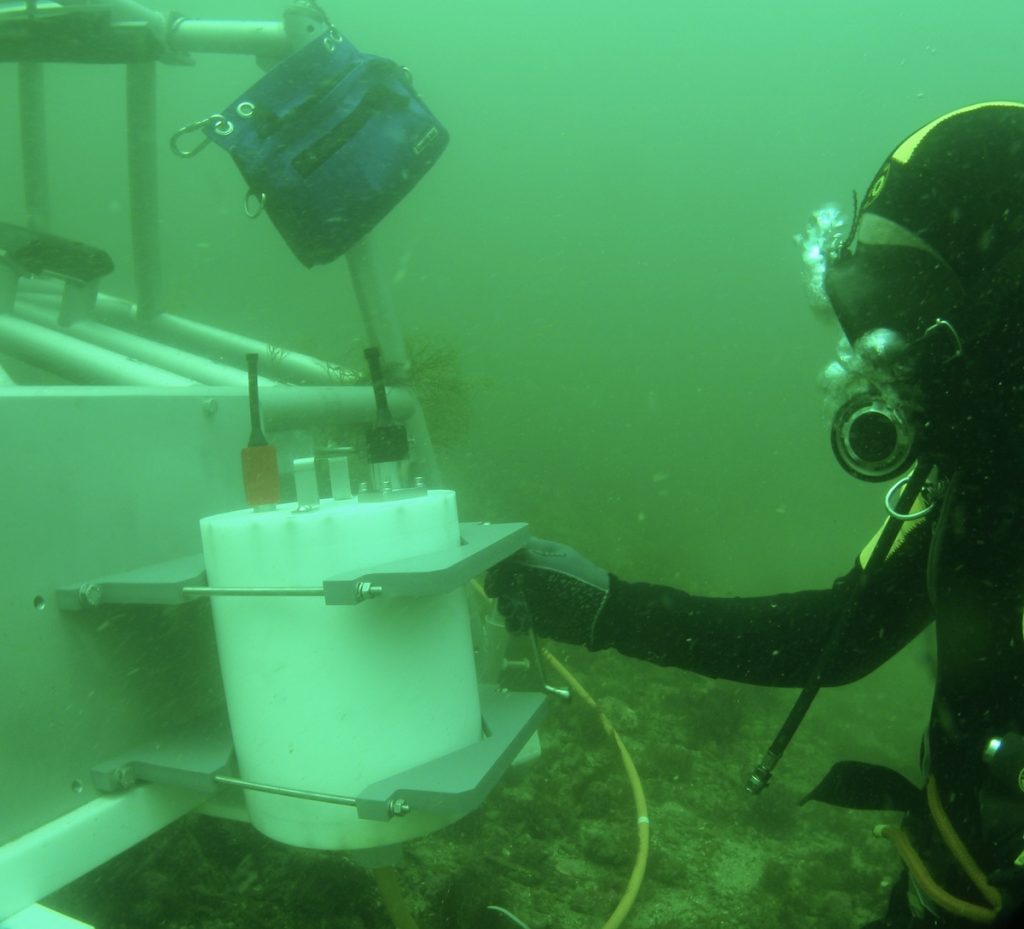
- Started to collect a continuous time series of plankton diversity, biomass, and behaviour in the North Sea near Helgoland using a CPICS plankton and particle imager. The CPICS plankton and particle imager, which is equipped with CTD and oxygen sensors and ADCP has been operational since July 2021. The imager is maintained jointly by Hereon and AWI.
- Co-organised the 10th Ferrybox workshop for validating and harmonising the methods used. The virtual event was hosted by SMHI and Fjordexport Heinke Expedition in March 2021, in collaboration with Hereon and GEOMAR.
- Started to establish a measurement station in Tesperhude at the Elbe river. This is a joint collaborative activity by JERICO-S3 and the DANUBIUS-RI, which is expected to be operational in early spring 2022.
What’s next?
Workshop on data mining for integrated observation systems; on the 18th of October 2021, Webinar “Theoretical approach” (Session 1)
Shared actions between partners within a Pilot Supersite and between the Supersites, including the study of pCO2 variabilities development (Ship of Opportunity SOP approach), optimisation of nutrient fluxes assessment along the land to sea continuum, development of Plankton Imaging and Machine Learning techniques, including specific research cruises in spring 2022, and develop the Ecosystem and Eutrophication modelling capacity.
Collaborations with other projects or initiatives
The English Channel / North Sea PSS activities are strongly linked with other projects such as:
- S3-EUROHAB France England Interreg project. The project develops a web-based Harmful Algal Bloom and Water Quality alert system that uses satellite data to improve monitoring of these parameters/phenomena.
- French CPER MARCO project and mainly its first scientific axis devoted to the Observation and Environmental status assessment.
- The German MOSES project the Modular Observation Solutions for Earth Systems is run in the Elbe River and the coastal North Sea.
- DANUBIUS: the connection with this RI builds a major link to riverine and terrestrial data and processes.
- COSYNA: data availability for the NSea PSS, provided via the Coastal Observing System for Northern and Arctic Seas Data portal.
- Ecotaxa: project at Hereon (Germany) is developing a data pipeline with IFREMER and LOV for including their plankton images in the Ecotaxa database.
About the JERICO-S3 Pilot Supersites
JERICO-S3 will provide regionalised innovative monitoring and science strategies at 4 Pilot Supersites in The Gulf of Finland, the North-western Mediterranean, The North Sea and the English Channel and the Cretan Sea.
The Pilot Supersites (PSSs) will be established and tested during a short implementation period (January 2021 to August 2022) to demonstrate how transnationally and trans-institutionally integrated multidisciplinary and multiplatform observations add value to our ability to answer the multiple key scientific and social challenges that the coastal ocean is facing.