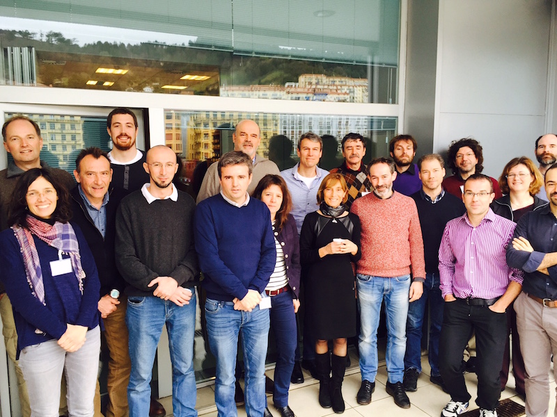
 The first workshop on HF Radar developments in JERICO-NEXT was held in San Sebastian on March 9th to 11th, 2016. This very successful meeting joined the main partners dealing with HF Radars in JERICO-NEXT, with participation of 22 people and 12 different Institutions from 7 European countries.
HF Radars are a remote sensing measurement technique, which provide surface ocean currents measurements, with extended coverage (range of 30-200 km) and high resolution in time (order of 1 hour) and space (order of 1-5 km). HF Radar technology offers a unique opportunity for excellent and innovative scientific research on coastal ocean variability, by providing data at the interface between ocean and atmosphere. Moreover, the real-time data obtained from this technology is being used today for monitoring surface ocean transport with application to different sectors in relation with marine environment, safety and exploitation. There is still work needed to improve the operation of radar, data quality control and harmonization, and to develop their applications. To improve these aspects and to work towards building a European HF Radar networks is one of the aims of the HF Radar component of JERICO-NEXT project.
The two main outcomes of the Workshop were: (i) a joint review of the state-of-the-art of these observing systems (in terms of technology, procedures, maintenance, data processing, format, quality and management, identification of limitations and difficulties, applications, dissemination, etc.), and (ii) the coordinated planning of work in the different tasks related to HF Radars. These tasks involve the following JERICO-NEXT WPs: WP2 on the harmonization of new network systems, WP3 on the developments on current observations from HF Radars, WP1 and 4 on Science strategies towards 4D characterization of trans-boundary hydrography and transport, WP5 on the definition of Quality Control procedures for HF Radar data and WP6 on Virtual Access to the data.
