
24th juillet 2024
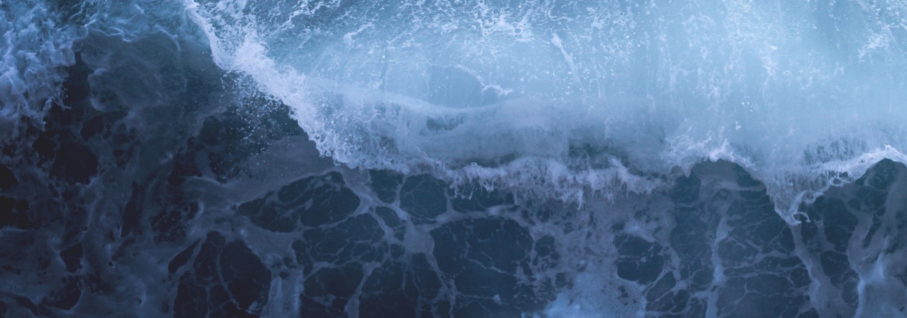
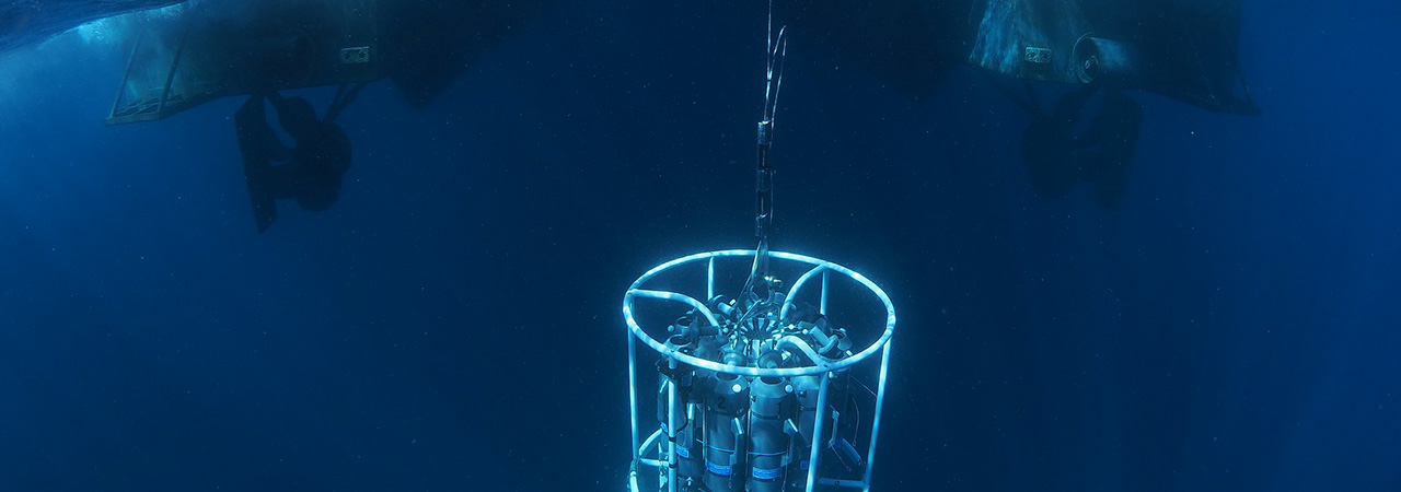
The webinar on FAIR data on biochemistry in European marine waters (3rd July 2024), presented by Anouk Blauw (Deltares), and Peter Thijsse and Tjerk Krijger (MARIS), highlighted the importance of ocean observation data in understanding the impact of changes in marine waters. The changes, driven by factors such as climate change, biodiversity loss, and increased use of marine waters, affect the natural ecosystem, biodiversity, conditions for ecosystem services like aquaculture and fisheries, and safety through flood risks and coastal erosion. The webinar aimed to share lessons from the JERICO-S3 project on data collection, management, and use, provide an overview of the European FAIR data management landscape, evaluate the adequacy of current data flow to European…
The webinar on FAIR data on biochemistry in European marine waters (3rd…
24th juin 2024
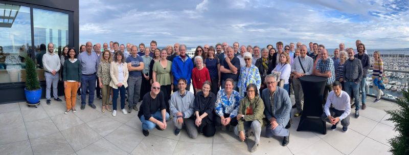
The JERICO-S3 community gathered in Brest, France, from June 18th to 21st,…
20th juin 2024
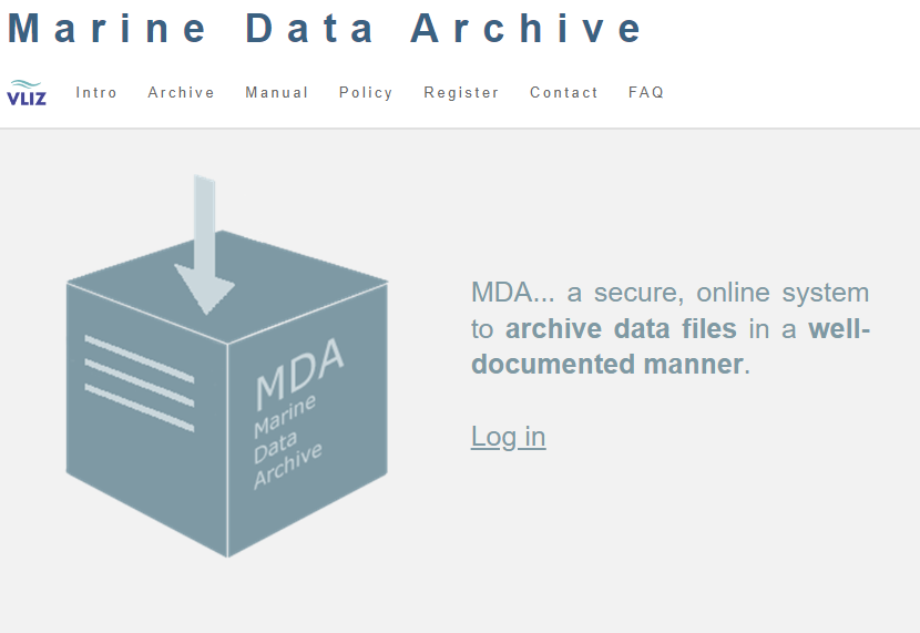
The Marine Data Archive (MDA) stands as a vital online repository that…
17th juin 2024
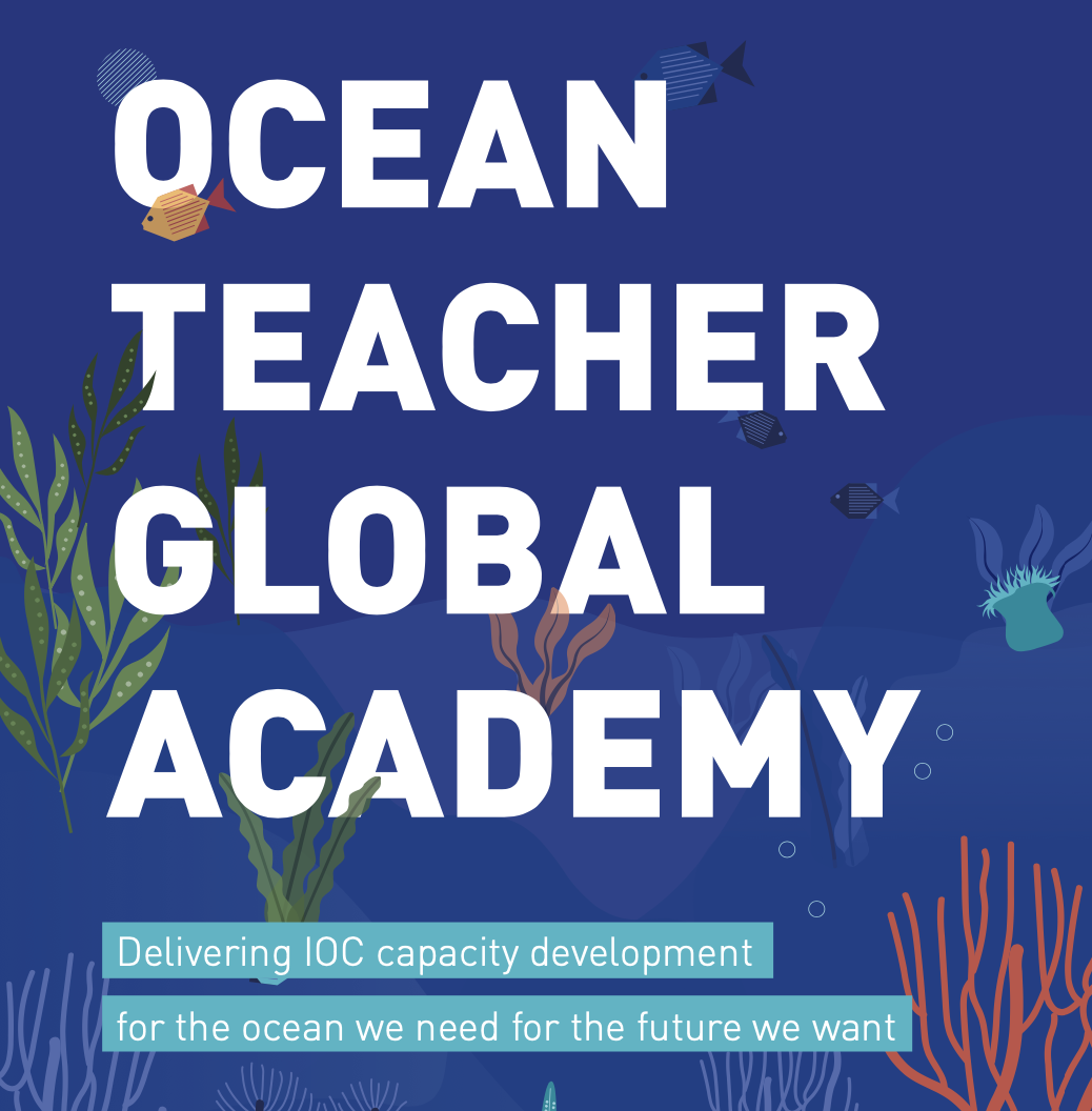
The OceanTeacher Global Academy (OTGA) is 1 of more than 20 Virtual…
17th juin 2024
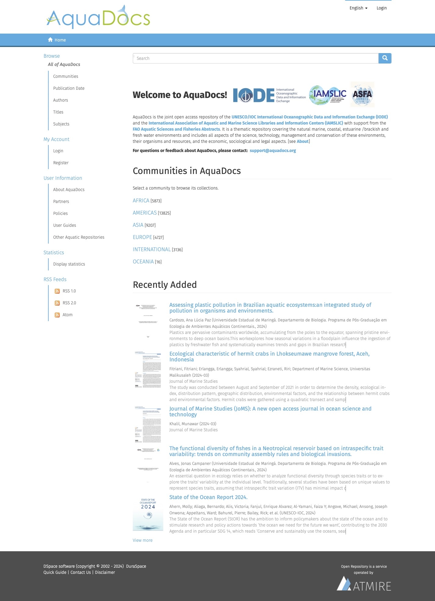
JERICO-S3 offers Virtual Access to AquaDocs: a joint open-access thematic repository covering…