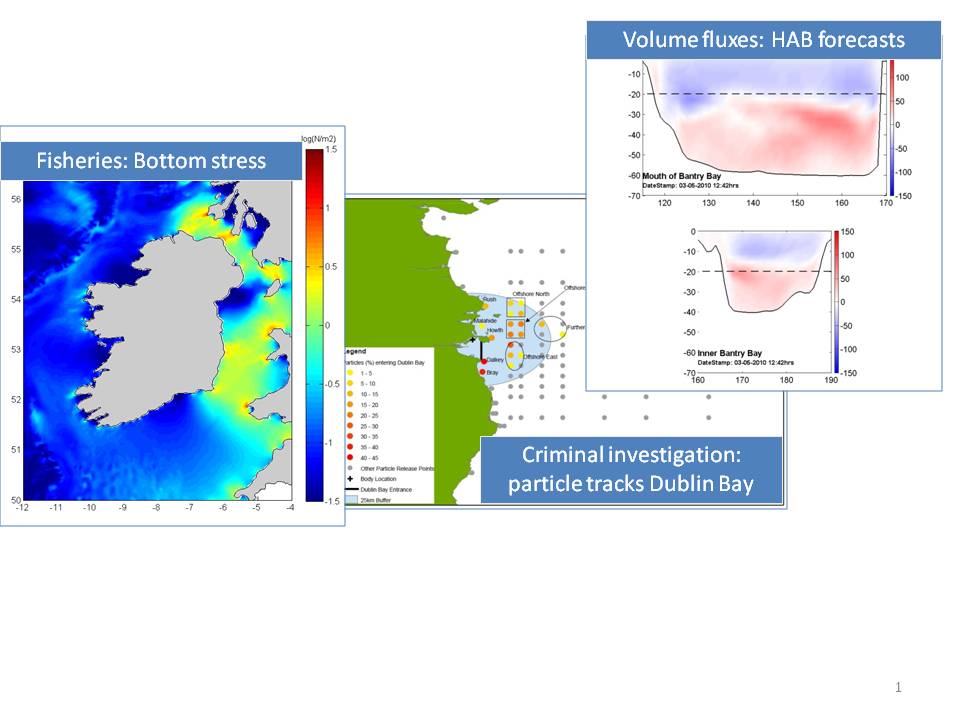
The Marine Institute (MI) in Ireland has developed a capability in operational oceanography since 2003. This has involved increasing the number of places (stations) where we collect oceanographic data on buoys, coastal piers and ships, developing ocean nowcast and forecast models and using satellite images of ocean colour and temperature to observe changes in the surface of the ocean. With this combination of in-situ observations, model forecasts and satellite images we can look at the past, current and future state of the ocean around Ireland by analysing information on ocean temperature, salinity, currents, waves and several biogeochemical variables including chlorophyll, oxygen and turbidity.
But why do we want to know these things in the first place?
Many marine industries rely on the marine environment to generate employment and income. These include having a basic knowledge of the sea conditions (wave heights, sea state, current strength) for ship routing and marine operations, tracking and successfully targeting marine resources (commercial fish, aggregate extraction, ocean energy) and harvesting resources from the sea (aquaculture). Marine leisure users also make use of “oceanographic products” to plan activities in the sea including marine weather forecasting, sea temperatures, wave and tidal conditions. Finally we need to understand the ocean if we are to maintain our seas at Good Environmental Status and if we are to consider the impacts of climate change on Ireland and its people.
For a snapshot of the products that are routinely produced and made available to marine users, see (http://www.marine.ie/home/services/operational/oceanography/ ). For more information please contact glenn.nolan@marine.ie

